This is an information resource website in support of the efforts to implement the Buzzards Bay Comprehensive Conservation and Management Plan and the Buzzards Bay National Estuary Program (NEP). The Buzzards Bay NEP Management Conference is composed of federal and state agencies, a regional planning agency, and two non-profits.
The Buzzards Bay NEP is an advisory and planning unit of the Massachusetts Office of Coastal Zone Management. We receive funding from, and are part of, the U.S. Environmental Protection Agency’s National Estuary Program. We exist to promote implementation of the Buzzards Bay Comprehensive Conservation and Management Plan by municipalities and other stakeholders. Our principal customers are the municipal Boards of Health, Conservation Commissions, Planning Boards, Boards of Selectman, Public Works departments, citizens, and environmental nonprofits in our watershed. Our work is non-regulatory, and science based. We support municipalities through grants and technical assistance, including project development, stormwater remediation design, plan review, permitting assistance, technical evaluations, planning, GIS support, and environmental analyses.
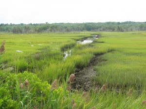
This technical resource site features information, data, reports, and links about the water quality and natural resources of Buzzards Bay and its surrounding watershed, and the actions needed to protect and restore them. Just tunnel down into one of our many topic areas.
We also host several other special sub-domain sites that may interest you including:
climate.buzzardsbay.org – Our website predicting changes in storm impacts, flood zones, and salt marsh migration with sea level rise.
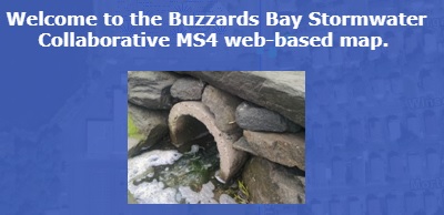
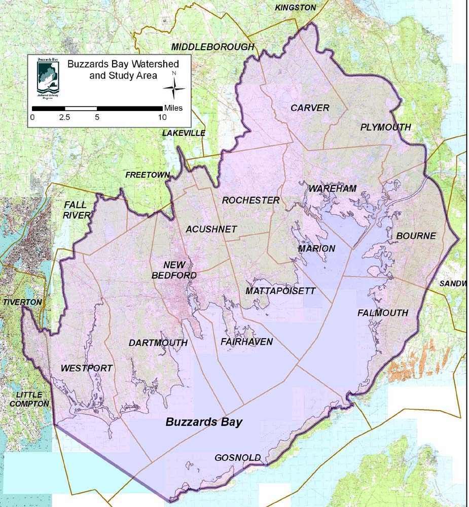
stormwater.buzzardsbay.org – Our website of in support of the stormwater collaborative; includes maps of all stormwater discharges in Buzzards Bay.
Stormwater Collaborative Interactive Map
Stormwater Collaborative Interactive Map.